Missouri Trailblazing
Your Guide to Missouri's Horse Trails and Camping
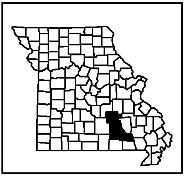
Ozark National Scenic Riverways
U.S. National Park Service
Location:
Shannon, Carter, & Dent Counties
News, Updates, & Warnings:
Open during hunting seasons so please use caution.
Directions:
Shawnee Trailhead: Best trailhead for trailers because driving here is easier than to Broadfoot Trailhead. From Eminence, take Hwy 106 east to County Road 106-211 and follow to the trailhead parking on your right.
Miles of Trails:
23.5 in 4 loops.
Equestrian Camping:
Not allowed.
Trail Notes:
Shawnee Loop is 7 miles.
Two Rivers Loop is 5.4 miles.
Broadfoot Loop is 5.9 miles.
Jerktail Loop is 5.2 miles.
The trail can be very steep and rocky in some sections, especially the Jerktail loop. The wild horses in the area roam around the Shawnee and Broadfoot trails so you may see them on those trails. Be aware of the ride dates at Cross Country Trail Rides unless you want to ride with 1000’s of other horseback riders in the area. Cross the river only at designated crossings and do not bathe your horse in the river. There are also several forest roads in the area open to equestrian use.
Other Trail Users:
Hikers
Volunteers Helping With This Page:
 |
| Wild Horse Heard. Photo courtesy of Jill |
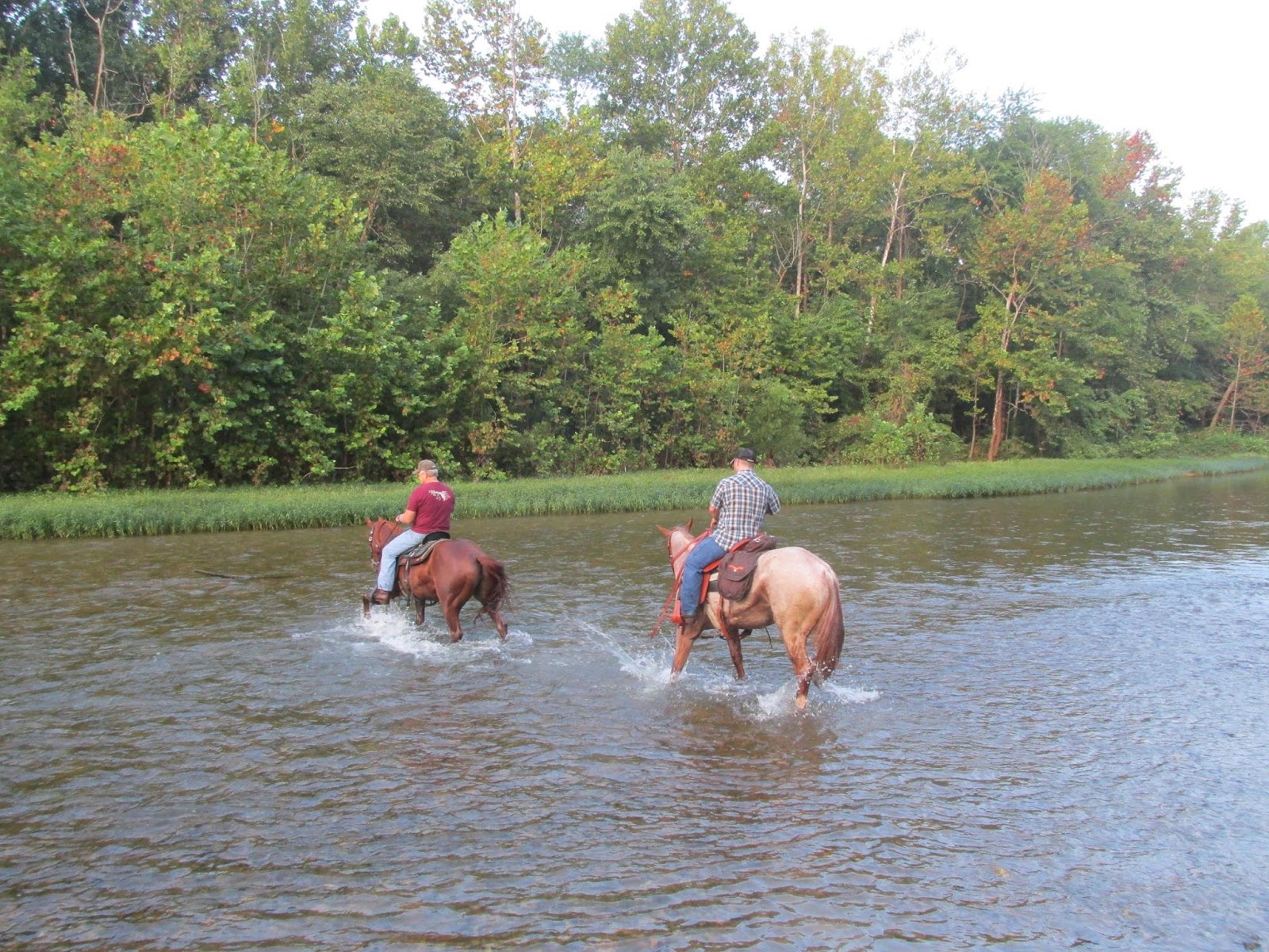 |
| One of the streams to cross. Photo courtesy of Jill |
