Missouri Trailblazing
Your Guide to Missouri's Horse Trails and Camping
Rudolph Bennitt Trail
Rudolph Bennitt Conservation Area
Location:
Randolph, Howard, & Boone County

News, Updates, & Warnings:
Nothing we know of at this time.
Directions:
Large Campground Trailhead: From Columbia, take Hwy 63 north to Hwy F, turn west. Follow Hwy F to Hwy T, turn north. Drive to County Road 229, turn west. The road is between a church and a cemetery. It has a steep hill. Continue on County Road 229, past the Slab Trailhead, to County Road 135, turn right. Drive to County Road 2920, turn left and follow, passing what used to be a trailside general store, to the campground.
Miles of Trails:
12 mile loop.
Equestrian Camping:
Yes, 24 equestrian campsites divided into 5 different camping areas.
Trail Notes:
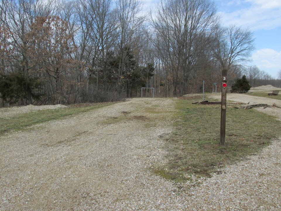
This trail is an all weather trail due to the fact that the whole trail is graveled. It is not a single track trail. Two horses can be ridden side by side through the whole trail. There are creeks, downfall, and traffic to negotiate. It is all forested, and there are added miles to ride if you ride the gravel roads, or you can use them to shorten your ride. There is a shooting range in the area so be sure your horse is used to the sound of gunfire.
Other Trail Users:
Hikers and hunters.
Volunteers Helping With This Page:
Jill Underwood.
 |
| Typical Parking Pad |
 |
| Hitching Rail With Hay Rack |
 |
| BBQ & firepit at most campsites. |
 |
| Campsite Lantern Hook |
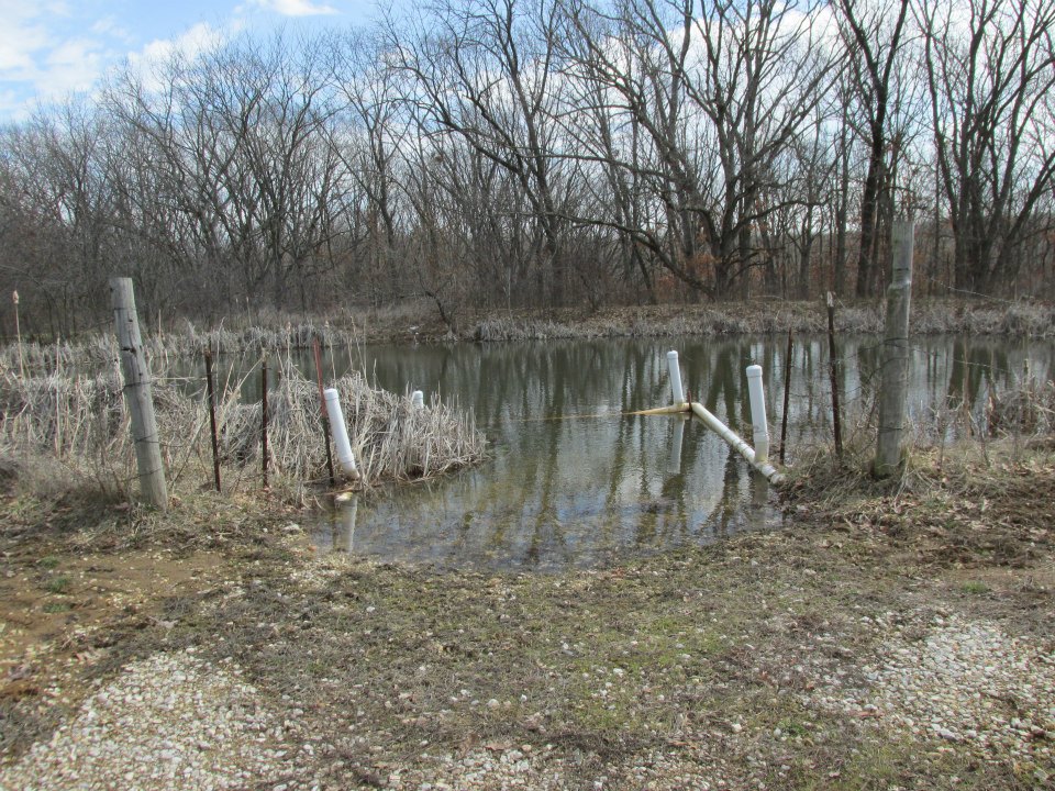 |
| Watering Hole at Large Campground |
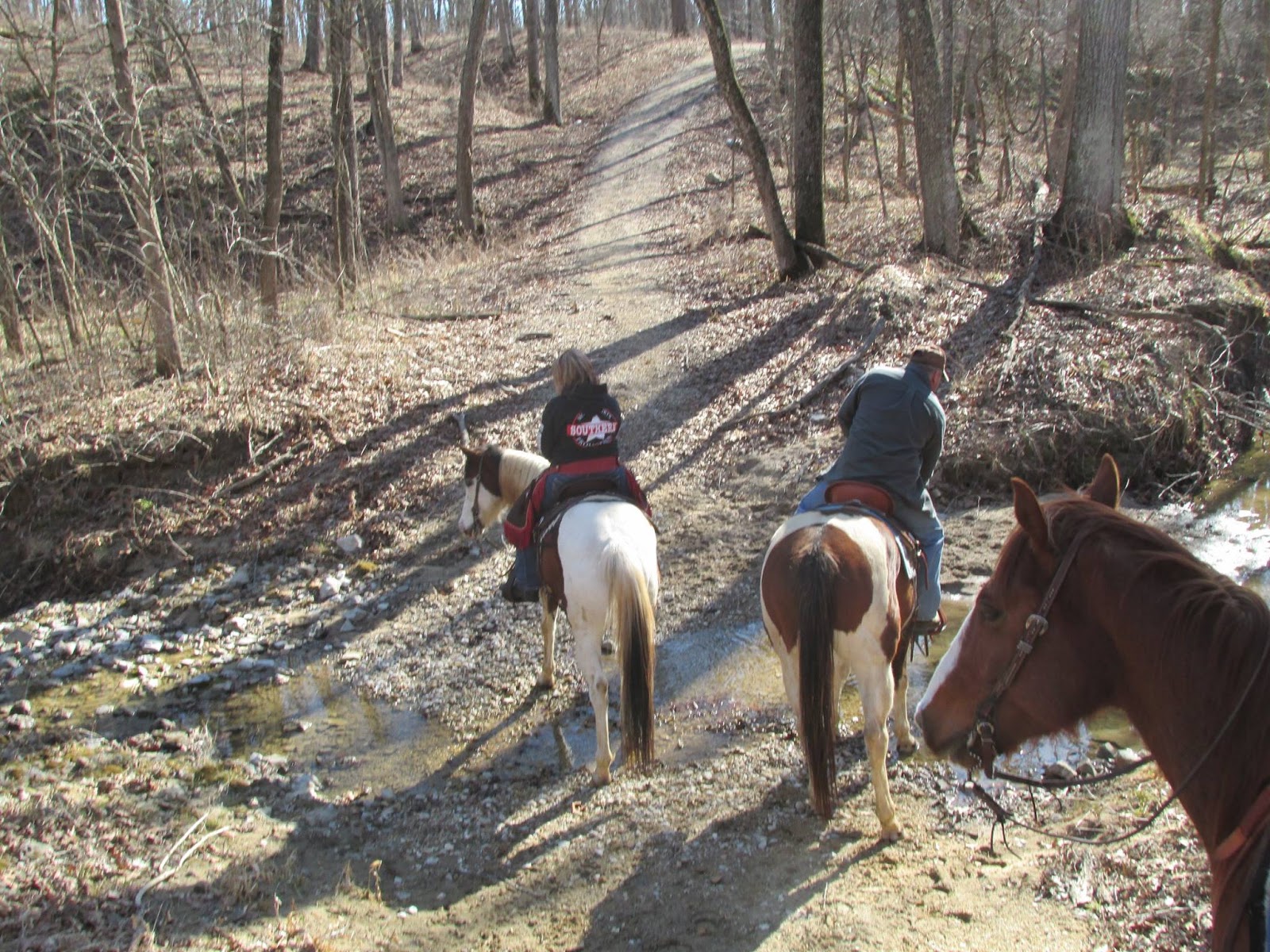 |
| Water Crossing On Trail Photo courtesy of Jill. |

 |
| Trail over the lake’s dam. |
 |
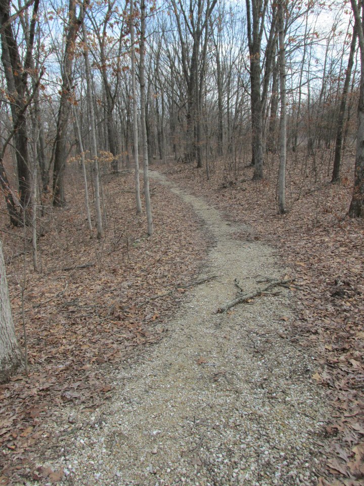
| Trail just past the dam. |

This is one of my favorite trails for ease. I can be ridden barefoot, and if you ride gaited horses, it is a dream. There really isn’t much water except the lake. The creek shown is more of a wet weather creek.
LikeLike