Missouri Trailblazing
Your Guide to Missouri's Horse Trails and Camping
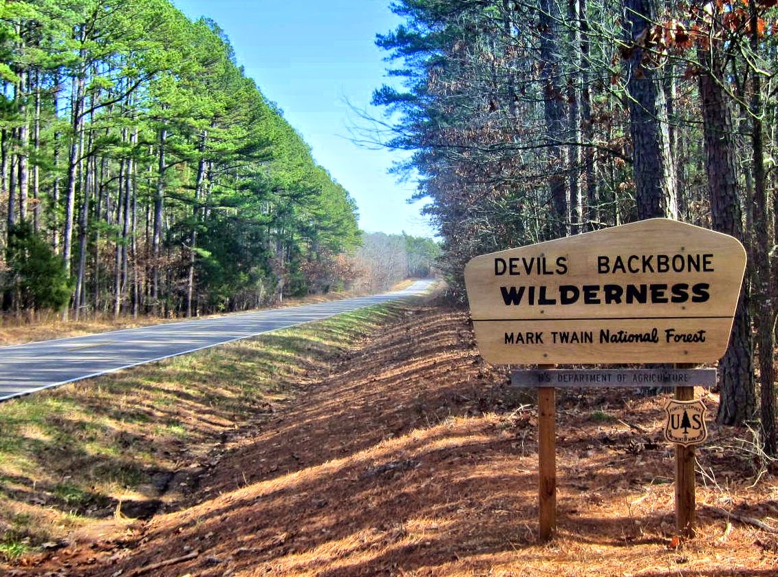
Devil’s Backbone Trail
Mark Twain National Forest
Location:
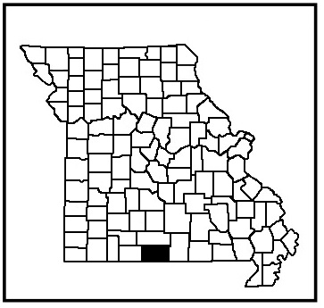
Ozark County
News, Updates, & Warnings:
Open to hunters during hunting season.
Directions:
East Hwy CC Trailhead: From West Plains, take hwy CC west to the trailhead lot on the left.
West CC Trailhead: From West Plains, take Hwy CC west, passing the east trailhead lot, to the next trailhead lot on the left. The North Fork River is between the two trailheads.
Campground Trailhead: From West Plains, take Hwy CC west to Hwy AD, turn south. Drive to Hwy KK, turn west. Follow Hwy KK to County Road KK362, turn right. Follow this gravel road to the trailhead camping lot on the left. This road contains a small steep hill to negotiate.
Miles of Trails
13 mile double loop.
Equestrian Camping:
Yes, at the Campground Trailhead and primitive disbursed camping along the trail.
Trail Notes:
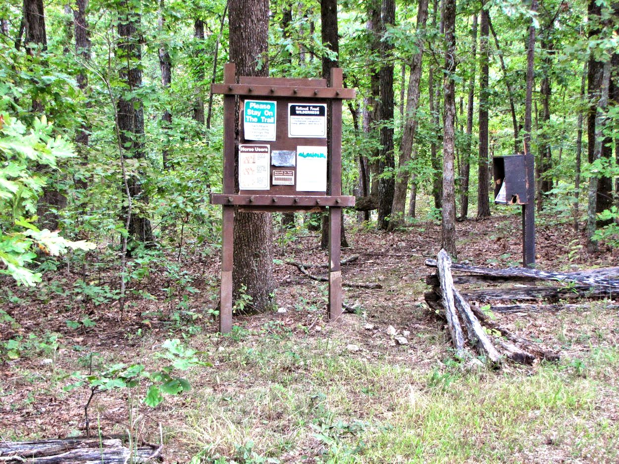
This trail is moderately difficult to strenuous, with several very steep hills, water crossings, and forest downfall to negotiate. This trail is in good shape and you can see where work has been done on it. It’s marked with white diamonds, but can get a little confusing here and there because of trails going off of the main trail. This is a wilderness area so you shouldn’t see any bike riders here. Please use the sign-in boxes provided.
Other Trail Users:
Hikers, backpackers, and hunters.
Volunteers Helping with this page:
No one at this time, available to adopt. If interested, please contact us.