Missouri Trailblazing
Your Guide to Missouri's Horse Trails and Camping
Angeline Trail
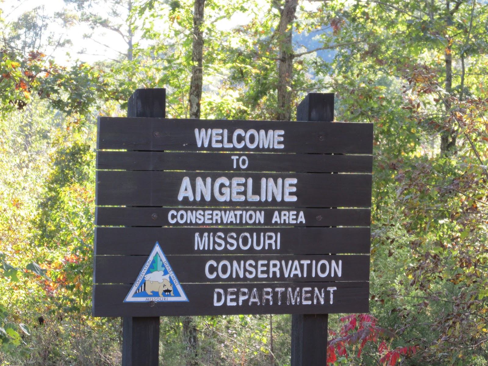
Missouri Dept. of Conservation
Location:
Shannon County

News, Updates, & Warnings:
Open to hunters during hunting seasons.
Directions:
From the city limit sign in Eminence, take Hwy 19 north to County Road 205. There is no sign, but it’s the first road you come to on the right after coming out of Eminence. Turn on C.R. 205 and drive until you see the area sign and turn right into the trailhead.
Miles of Trails:
9.5 miles of multiple loops.
Equestrian Camping:
Not allowed.
Trail Notes:
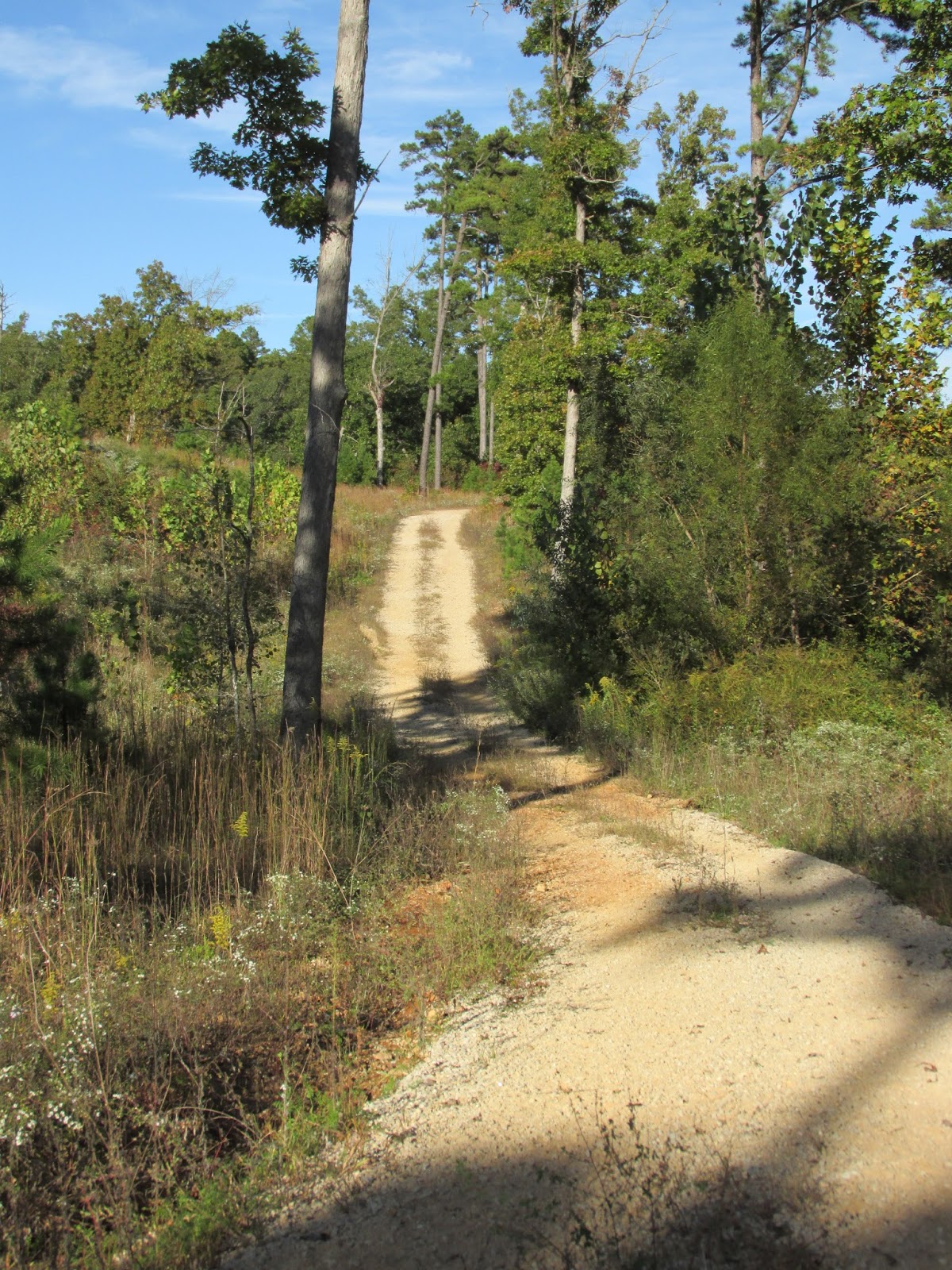
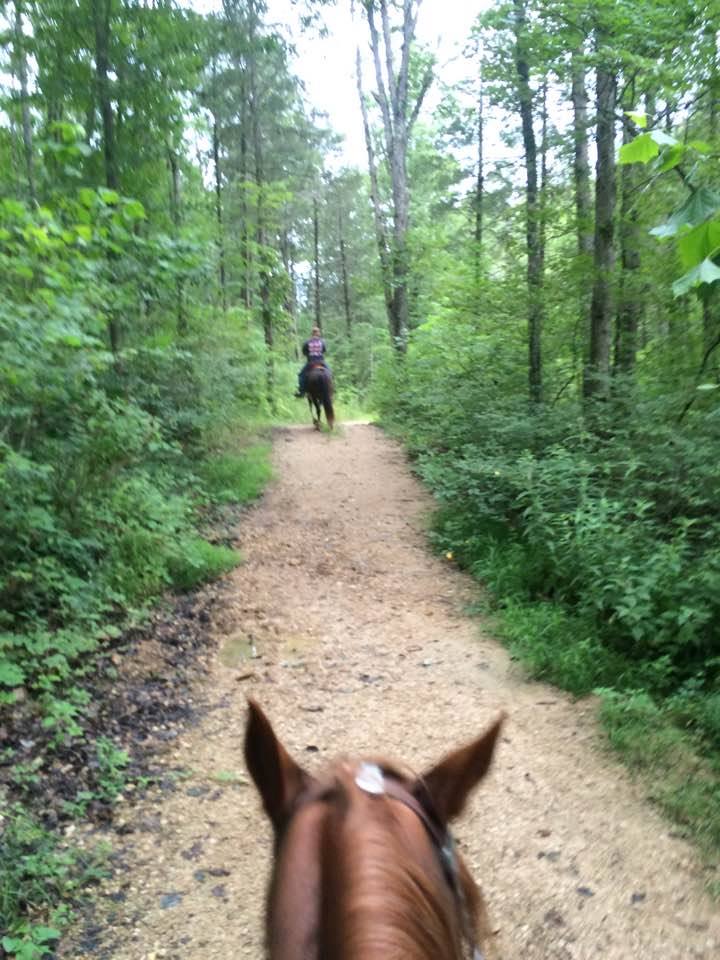
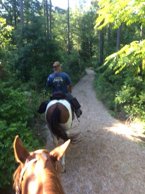
A nicely shaded trail, this is a great place to ride in the more hot part of summer. Some of the trials are two lane wide trails with graveled trail tread, but then some of them are single lane and much more challenging. All of the trails are well marked with name posts at each intersection. There are a couple scenic overlooks to enjoy. There are creek crossings as well as steep and rocky terrain to negotiate.
Other Trail Users:
Hikers and hunters.
Volunteers Helping With This Page:
Jill Underwood
Trailhead
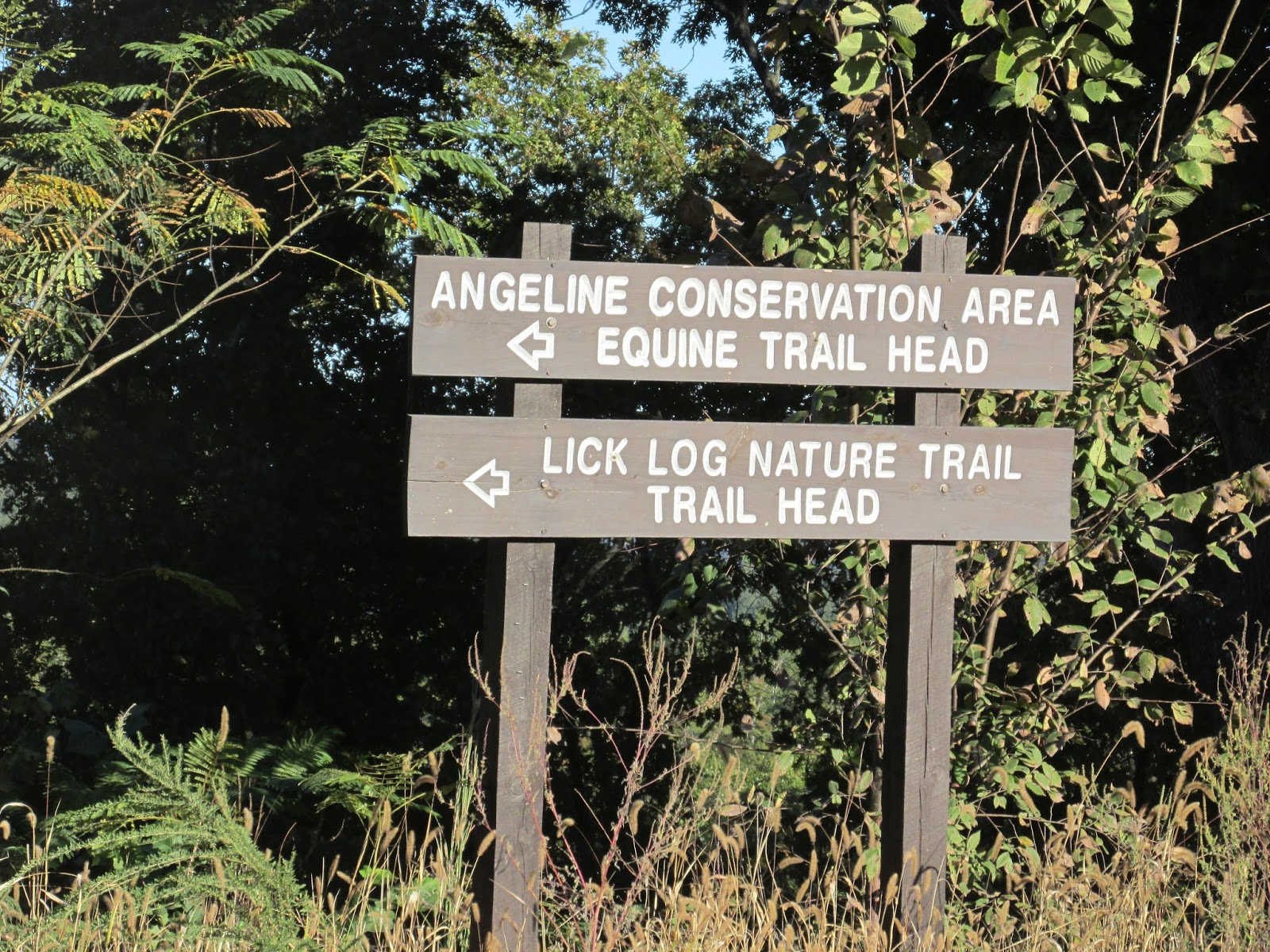 |
| Sign At Hwy 19 |
 |
| Trailhead has a large circle drive, vault toilet, and picnic tables. |
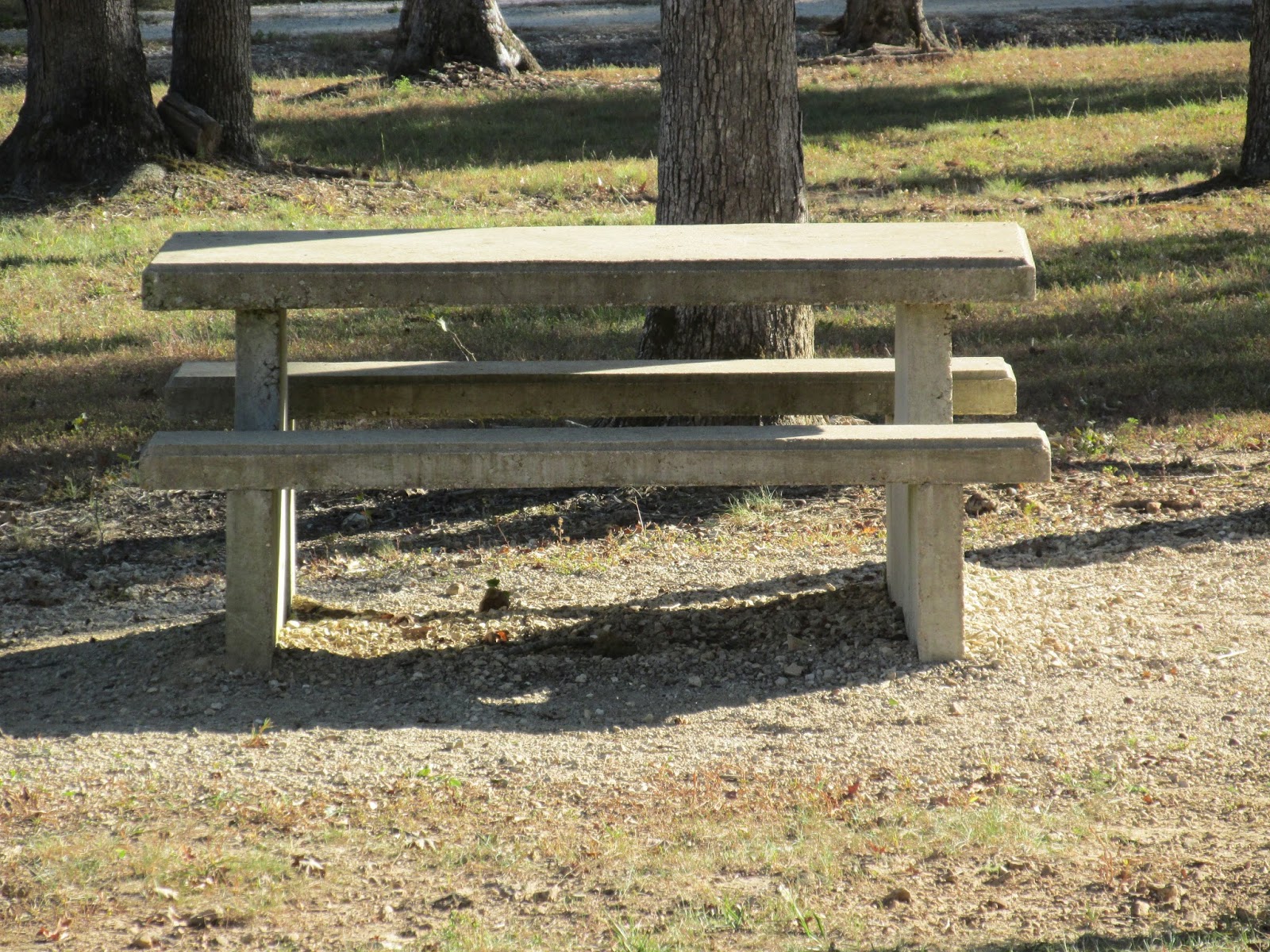 |
| Concrete Picnic Tables |
 |
| There are two outhouses like this. Both have hitching rails by them. |
 |
| There is also a lake at the trailhead, a good place to water your horse. |
 |
| Beginning of the trail |
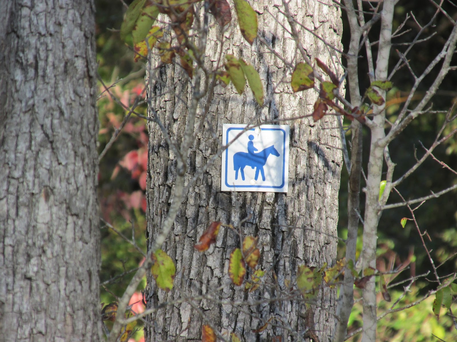 |
| Trail Marker |
 |
| Nice all weather graveled trail tread. |
 |
| Shady trails. |
 |
| Well maintained. |