Missouri Trailblazing
Your Guide to Missouri's Horse Trails and Camping
Babler State Park Trail
St. Louis County

News, Updates, & Warnings:
Outer loop trail is closed until further notice due to damage on the trail.
Directions:
From St. Louis, take I-44 to Hwy 109. Turn right on Hwy 109 and drive to where Hwy BA forks to the left. Follow Hwy BA to the park entrance on the left. Follow the park road past the visitor center to the first parking lot on the left. This is a suburban park, so traffic on the way there can be heavy at times.
Miles of Trails:
11 mile multiple loop.
Equestrian Camping:
Not allowed.
Trail Notes:
The trail corridor goes through old growth woods and is easy to follow. There is a paved bike trail in the park so it is possible to cross paths with mountain bike riders and kids on bikes. Mostly flat or gently rolling hills, there are a few road crossings, but no other apparent hazards. The equestrian trail frequently crosses hiking trails, so please make sure to stay on the designated equestrian trails. Even though this is a suburban trail, it is a wooded oasis in the middle of the city so wildlife is easy to spot here with a lot of deer, turkey, squirrels, and various birds in the area.
Other Trail Users:
Hikers.
Volunteers Helping With This Page:
No one at this time, available to adopt. If interested, please contact us.
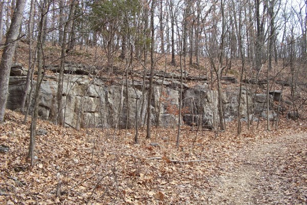 |
| Rock Formation |
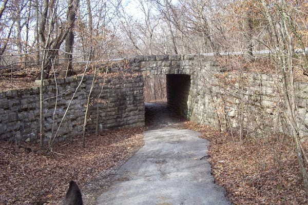 |
| Tunnel Near Parking Lot |
