Missouri Trailblazing
Your Guide to Missouri's Horse Trails and Camping
Bicentennial CA Trail
News, Updates, & Warnings:
Area closed from Oct 28 – Nov. 11, 2017 due to a controlled entry deer hunt
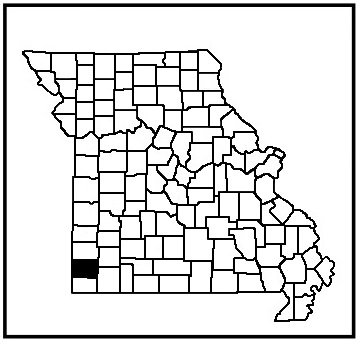
Directions:
From Springfield, take Hwy 60 west until you get to Hwy 59, turn south. Drive until you get to Hwy HH and turn left. Follow HH to Hwy TT. Follow TT to the trailhead parking lot on the left. Another trailhead is located a little further down Hwy TT, also on the left.
Miles of Trails:
4.5 mile multiple loop.
Equestrian Camping:
Not Allowed
Trail Notes:
The trail corridor should be easy to follow because this is a fairly new trail. The terrain is gently rolling. A couple of intermittent creeks to cross, but no real hazards.
Other Trail Users:
Hikers, hunters, and mountain bike riders.
Volunteers Helping With This Page:
No one at this time, available to adopt. If interested, please contact us.
