Missouri Trailblazing
Your Guide to Missouri's Horse Trails and Camping
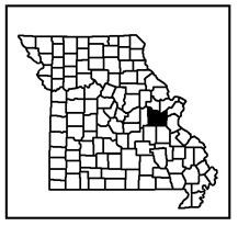
Meramec Conservation Area Trail
News, Updates, & Warnings:
Closed during fall firearms deer and spring firearms turkey seasons.
Directions:
From St. Louis, take I-44 west to the Sullivan Hwy 185 exit. Turn left onto Hwy 185 and follow road past Meramec State Park and over the Meramec River, to the first gravel road on the left. Turn left and drive to the trailhead parking lot on the right.
Miles of Trails:
11 mile double loop.
Equestrian Camping:
Not Allowed.
Trail Notes:
Trail is mostly level to gently rolling with the exception of one long, steep grade you will have to go up if you follow the trail counter clock-wise. Trail corridor is wide, clear and has limited wet weather creeks to cross. There was some logging done here a few years back that made some portions of the trail a little harder to find and follow. There are also some historical markers to enjoy. The trail passes by a church and a cemetery. There is a boggy section near this area where the trail keeps getting wider and wider. Please try to stick to the middle of the trail here.
Other Trail Users:
Hikers, mountain bike riders, and hunters.
Volunteers Helping With This Page:
No one at this time, available to adopt. If interested, please contact us.

Lots of “improvements” to this trail lately. Most of the single track has been widened and gravel put down. Very easy to follow now. A good easy trail for rookies, either horse or rider.
LikeLike